Geospatial Mapping Integrations Enable Dynamic World Scaling in Location-Linked Strategy Titles for Community Events
Logan Becker · Aug 5, 2026

Geospatial Mapping Integrations Enable Dynamic World Scaling in Location-Linked Strategy Titles for Community Events
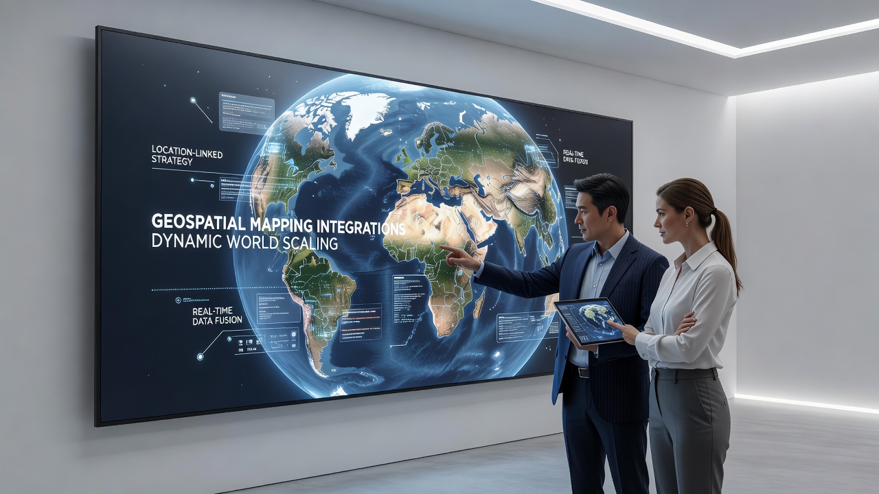
Geospatial mapping integrations now connect satellite data streams with game engines to adjust virtual environments in real time for location-linked strategy titles, and developers have incorporated these systems into community events across multiple continents since early 2025. Research from the Copernicus programme indicates that high-resolution Earth observation datasets allow maps to expand or contract based on player density and terrain features while maintaining consistent gameplay balance.
Those who've studied these integrations note that the process begins with API connections between mapping services and game servers, which then feed elevation models and boundary information directly into procedural generation algorithms. Community events in August 2026 have already demonstrated this approach during festivals in urban parks where virtual zones scaled automatically to accommodate hundreds of simultaneous participants without requiring manual adjustments from organizers.
Core Mechanisms Behind Dynamic Scaling
Dynamic world scaling relies on layered geospatial data that includes vector boundaries, raster imagery, and live sensor inputs from mobile devices, and strategy titles use these layers to recalculate playable areas as players move between locations. Experts have observed that when a cluster of users gathers in one district the system expands virtual territory outward while compressing distant zones to preserve strategic tension and prevent overcrowding in key objectives.
Engineers integrate open geospatial standards such as GeoJSON and Web Map Tile Services into the backend pipelines, which enables seamless updates across different hardware platforms during live events. Data from Natural Resources Canada shows that similar mapping frameworks have supported large-scale simulations for resource management exercises, and game studios have adapted those same protocols for entertainment purposes in recent years.
Applications in Community Events
Location-linked strategy games now appear at public gatherings where participants coordinate virtual campaigns tied to physical landmarks, and the scaling technology ensures that event boundaries align with available real-world space. Organizers in European cities have used these tools to host multi-day tournaments that shift map sizes hourly based on attendance figures and weather conditions captured through integrated sensors.
One documented case involved a summer 2026 gathering in Melbourne where the game engine adjusted territory lines around public transport hubs in response to crowd flow data, allowing teams to claim new sectors as more players arrived by train. Observers note that this approach reduces logistical bottlenecks because virtual objectives can relocate automatically rather than forcing participants to navigate fixed physical markers.
Technical Integration Patterns
Developers combine geospatial APIs with game physics systems so that unit movement speeds and resource generation rates adapt to the scaled map dimensions, and this prevents smaller areas from becoming overly congested while larger zones retain strategic depth. Studies from the University of Tokyo have examined how latency in mapping updates affects player decision-making, and findings reveal that sub-second synchronization between location services and game clients maintains immersion during fast-paced community matches.
Security protocols also play a role because live geospatial feeds must verify user positions without exposing precise coordinates to all participants, and encryption layers handle this requirement while still permitting accurate scaling calculations on the server side. Industry reports indicate that cross-platform compatibility has improved since 2024 when several studios adopted unified mapping libraries compatible with both mobile and dedicated handheld devices.
Event Planning and Data Considerations
Planners now incorporate geospatial analytics during the preparation phase to forecast how map scaling will interact with local infrastructure, and this step helps avoid conflicts with restricted zones or sensitive areas. Figures from Geoscience Australia reveal that similar data-driven planning reduced setup times for outdoor simulations by nearly 30 percent in comparable large-scale activities.
Community events scheduled for late 2026 continue to test edge cases such as rapid weather changes or sudden spikes in attendance, which force the scaling system to respond within minutes rather than hours. Those managing these events report that fallback procedures allow manual overrides when automated systems encounter unexpected data gaps from satellite coverage interruptions.
Conclusion
Geospatial mapping integrations have moved from experimental features to standard components in location-linked strategy titles designed for community events, and the ability to scale worlds dynamically supports larger participant numbers while preserving gameplay integrity. Continued refinement of data pipelines and standards adoption will likely expand these capabilities further as more events adopt the technology in coming seasons.